Mapping Intelligence for
Every Industry
Transform geospatial data into actionable insights. From optimizing supply chains to planning smart cities, itheons.app powers decisions that matter.
+24.5% vs last month
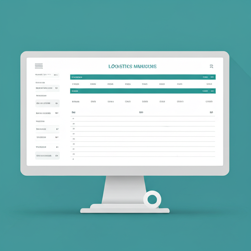
Logistics & Supply Chain
Optimize routes in real-time and gain full visibility over your fleet. Our advanced algorithms consider traffic, weather, and vehicle constraints to ensure timely deliveries and reduced fuel costs.
- Real-time fleet tracking and dynamic rerouting
- Predictive maintenance alerts based on mileage
- Last-mile delivery optimization tools
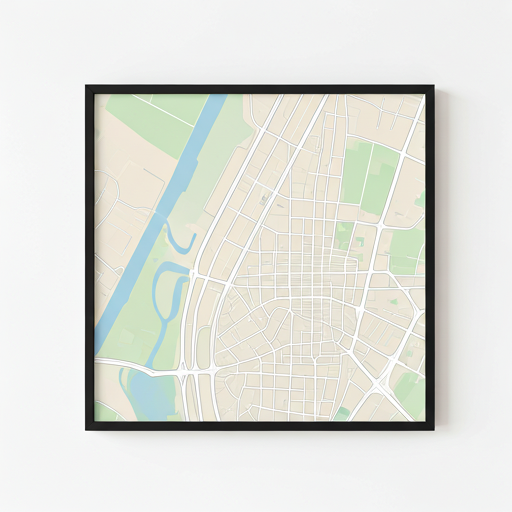
Urban Planning & Smart Cities
Build smarter cities with data-driven zoning and infrastructure planning. Visualize population density, traffic patterns, and utility usage on a unified 3D map interface tailored for city planners.
Zoning Layers
Interactive zoning overlays with regulation tooltips.
Traffic Analysis
Historical flow data to predict congestion points.
Environmental Monitoring
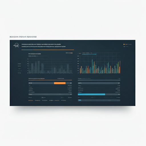
Track environmental changes with satellite precision. Monitor deforestation, water levels, and air quality indices in real-time to support conservation efforts and regulatory compliance.
Satellite Integration
Ingest data from Sentinel and Landsat satellites automatically.
Change Detection
AI-powered analysis to detect minute landscape changes over time.